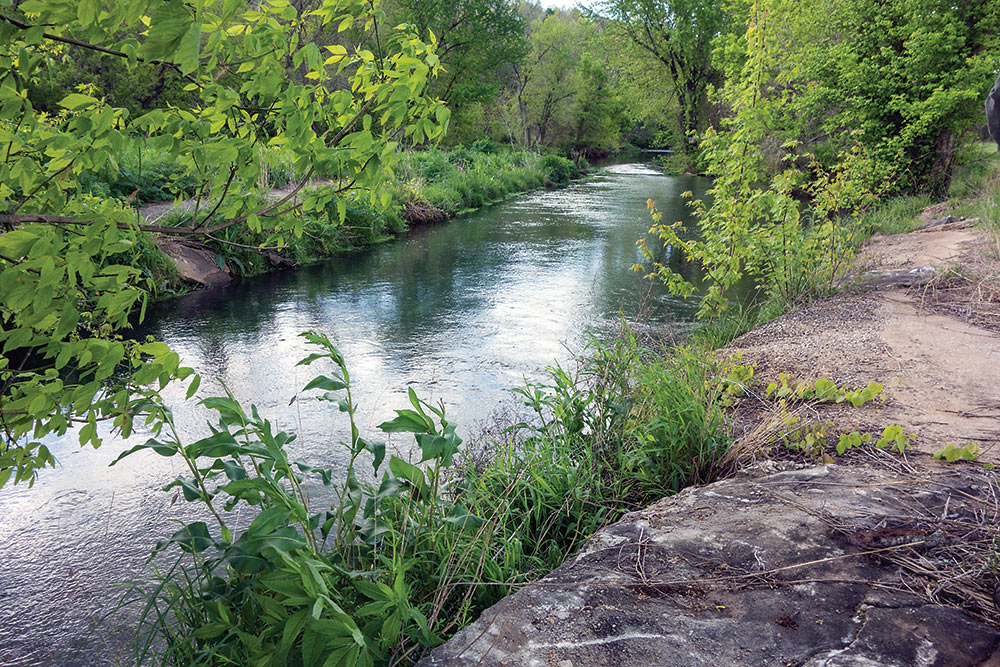
Since mid-December, the Springfield News Leader has followed the discovery and monitoring of a recently opened up “swallow hole” on the James River, near the Greenway Trail in southwest Springfield.
A dramatic sucking sound accompanies the whirling vortex as hundreds of gallons of the stream’s water disappears down the dark hole. It’s a graphic auditory and visual illustration of the porous nature of the karst typography we live on.
Loring Bullard, author of Jordan Creek: Story of an Urban Stream and past president of the Watershed Committee of the Ozarks, was one of those who found the swallow hole. He described the whirlpool as “a crack in the creek bed . . . sucking hundreds of gallons of water into a subterranean channel that likely exited more than a mile downstream at Rader Spring.”
 Our research for James Fork of the White led us to Rader Spring as well. An unspectacular outpouring in a field near Wilson Creek, the spring did not historically attract the leisure class for picnics and dalliances. Still, it is instructive of our landscape. Of Rader Spring, we wrote:
The spring only a hydrologist could love pumps around six or eight million gallons a day into the now-cleaned-up Wilson Creek – a third as much as Missouri’s twentieth biggest spring. Still, it’s a lot of water, but size is not what endears it to geologists. The Association of Missouri Geologists took a field trip here and Kenneth C. Thompson wrote, “Perhaps the most unusual characteristic of Rader Spring and its supply system are the reversible sinkholes or estavellas that occur in the Wilson Creek valley. These curious karst features accept water in drier seasons and discharge water as springs during rainy seasons.” (p. 53)

The mysterious movement of water under the surface of our earth has been studied and pondered by generations of geologists, hydrologists, landowners as well as recreationalists who observe the outcomes of that movement. Dry creeks and sinking streams, which have intermittent water supplies, also prove that, although we may not see it, water courses through a complex subsurface system that does not necessarily copy the channels we see from a low water bridge. Pouring dye into one water source and waiting to see where it resurfaces is the most common method of tracking that movement.
Rader Spring is a textbook example of how leaky the Springfield Plateau is. Fluorescent dye introduced into creeks and sinks from as far away as I-44 have been detected in Rader’s waters. From a dry branch of Nichols Creek six miles away dye was injected that reached the spring in six days. Rader is only 1.3 miles from Springfield’s Southwest Waste Water Treatment Plant. (p. 53)
Fluorescent dyes have been introduced into some dry streambeds and sinkholes along Flat Creek a few miles from Cassville and emerged in the great spring at Roaring River. That twenty-six-million gallon-a-day frigid water source for a state trout park is not in the James River basin. Subsurface water movement does not always follow present-day surface stream configurations. (p. 94)

James Fork of the White: Transformation of an Ozark River is available on this website, on amazon.com and at Barnes & Noble.